Sensing Water
2022 | DES 201 | Design Studio I - Context and Site w/Arthur Leung & Yekta Tehrani
In collaboration with José Miguel Torres
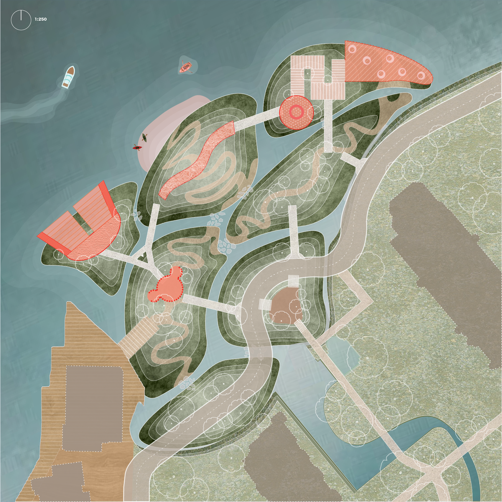
Patch plan (1m topography lines), real scale of 150m x 150m
ON THE EDGE
This final exercise of studio focuses on the development of an interconnected sequence of open spaces and circulation networks for humans and nonhumans within a selected patch on the edge of False Creek.
While this design intervention envisions a thin park on this thick edge, it also considers the entire False Creek area as a whole. Using formal strategies, methods of representation, and site analyses, a reimagined seawall/water’s edge is articulated ecologically, formally, materially, and programmatically.
As pointed out by Nina-Marie Lister in “Insurgent Ecologies: (Re)Claiming Ground in Landscape and Urbanism”: “contemporary urbanism requires a multifocal perspective, one that encompasses the notions of form, function, field, and flows across and between the dynamic layers. In this sensibility, aspects of ‘culture’ and ‘nature’ are neither separate nor confused, but woven together through the metropolitan landscape.”

Context map (José M)
THESIS
Our design activates a confrontation against collective fear. By designing a sensory water park focused on encouraging interaction with water, sensorial enlightenment driven by water reframes the user's perception of the element, disregarding the association of an isolated identity of water being a destructive force.
THE PATCH
The selected site of our design is a 150m2 patch of the edge of the False Creek Seawall west of Cambie Street Bridge. Due to its transient nature between the two bridges, there was a lack of incentive to stay in the patch despite its viewpoints and abundance of green space. We saw this as an opportunity to reimagine the site's potential for mending the people with the shoreline edge.
To reconsider the interstitial zone of False Creek as it meets a sea level rise of one metre by the year 2100, the park reimagines how water is allowed to move through, over, under, and around landscape. Embodying the “accomodation” strategy to relieve the effects of sea-level rise, storm surge, and flood plains, the park design is shaped to function as/incorporate flood barrier protection islands, increased water diversion channels, and drainage easements.
PROGRAM
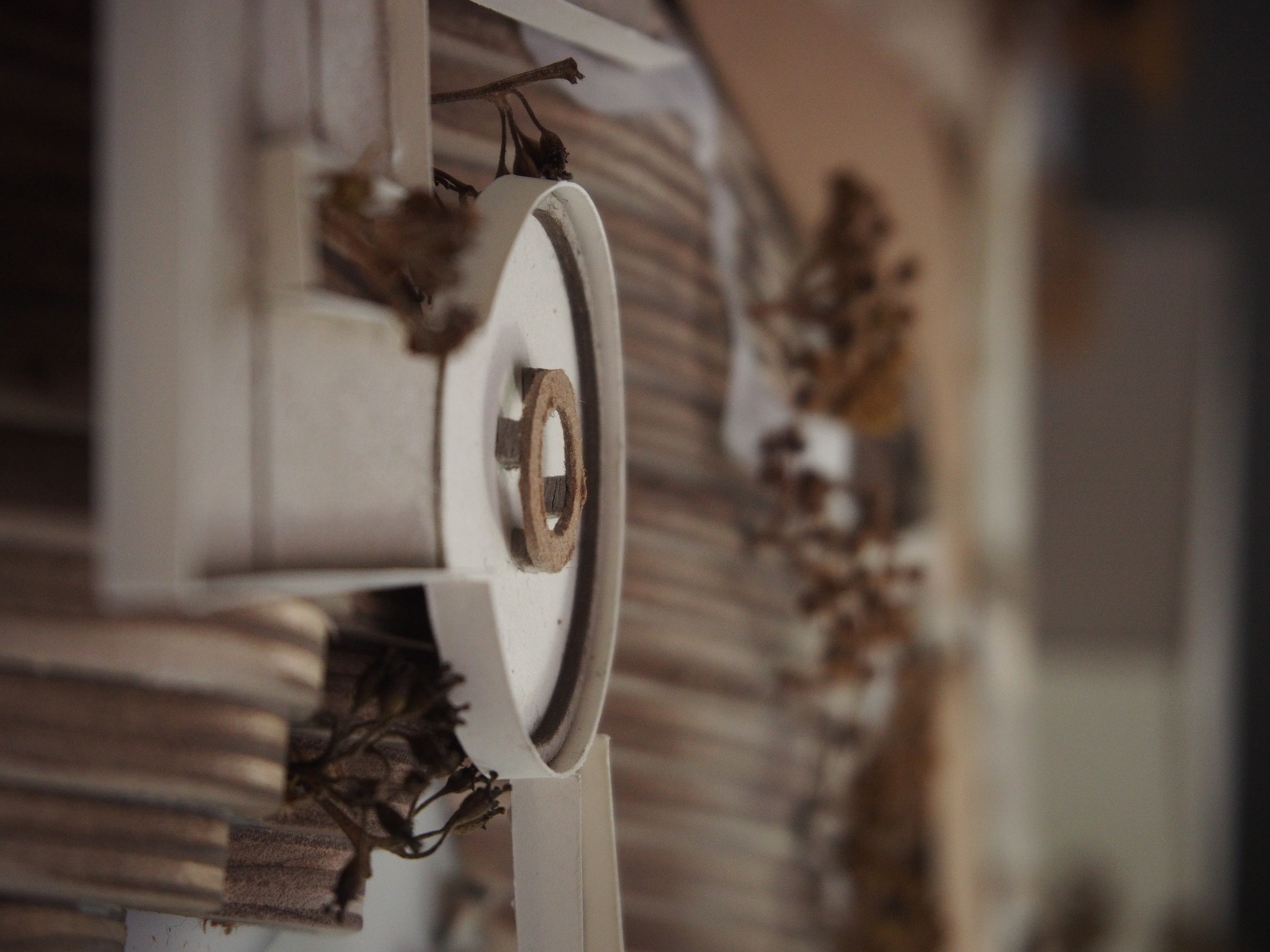
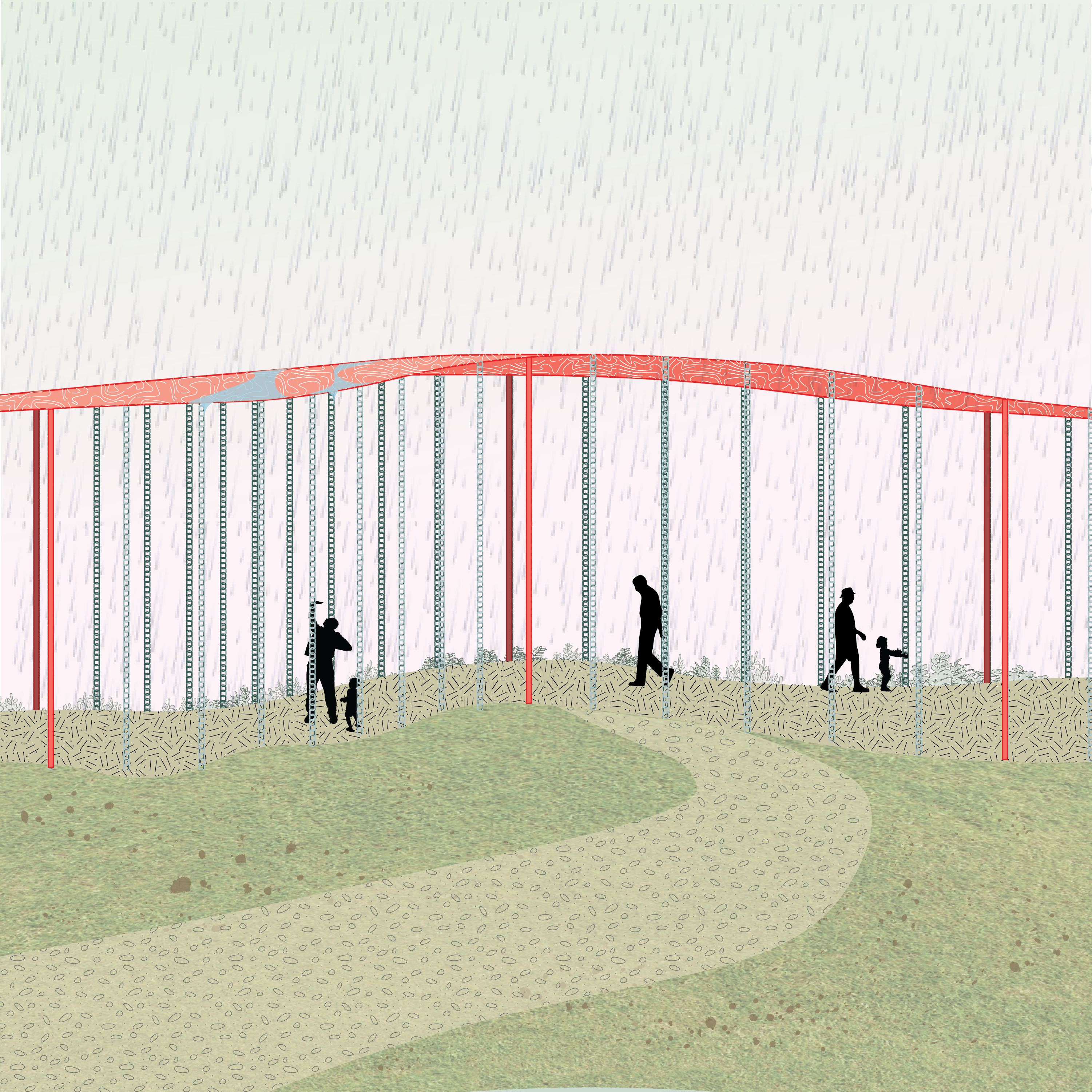
The sensory water park program entails a variety of experiences users can partake in to interact with water, providing opportunities for users to reshape their perception of the element and what value they hold for it. Infrastructure including a rain chain walk, hydraulophone, rain echo pavilion, waterfall seating steps, and land divets for shallow waters and biophilic exploration.
Inspired by the attraction of the nearby Habitat Island, users are encouraged to explore the park and determine their own wayfinding as a means of stimulating play and curiousity.
Our design activates a confrontation against collective fear. By designing a sensory water park focused on encouraging interaction with water, sensorial enlightenment driven by water reframes the user's perception of the element, disregarding the association of an isolated identity of water being a destructive force.
THE PATCH
The selected site of our design is a 150m2 patch of the edge of the False Creek Seawall west of Cambie Street Bridge. Due to its transient nature between the two bridges, there was a lack of incentive to stay in the patch despite its viewpoints and abundance of green space. We saw this as an opportunity to reimagine the site's potential for mending the people with the shoreline edge.
To reconsider the interstitial zone of False Creek as it meets a sea level rise of one metre by the year 2100, the park reimagines how water is allowed to move through, over, under, and around landscape. Embodying the “accomodation” strategy to relieve the effects of sea-level rise, storm surge, and flood plains, the park design is shaped to function as/incorporate flood barrier protection islands, increased water diversion channels, and drainage easements.
PROGRAM
The sensory water park program entails a variety of experiences users can partake in to interact with water, providing opportunities for users to reshape their perception of the element and what value they hold for it. Infrastructure including a rain chain walk, hydraulophone, rain echo pavilion, waterfall seating steps, and land divets for shallow waters and biophilic exploration.
Inspired by the attraction of the nearby Habitat Island, users are encouraged to explore the park and determine their own wayfinding as a means of stimulating play and curiousity.
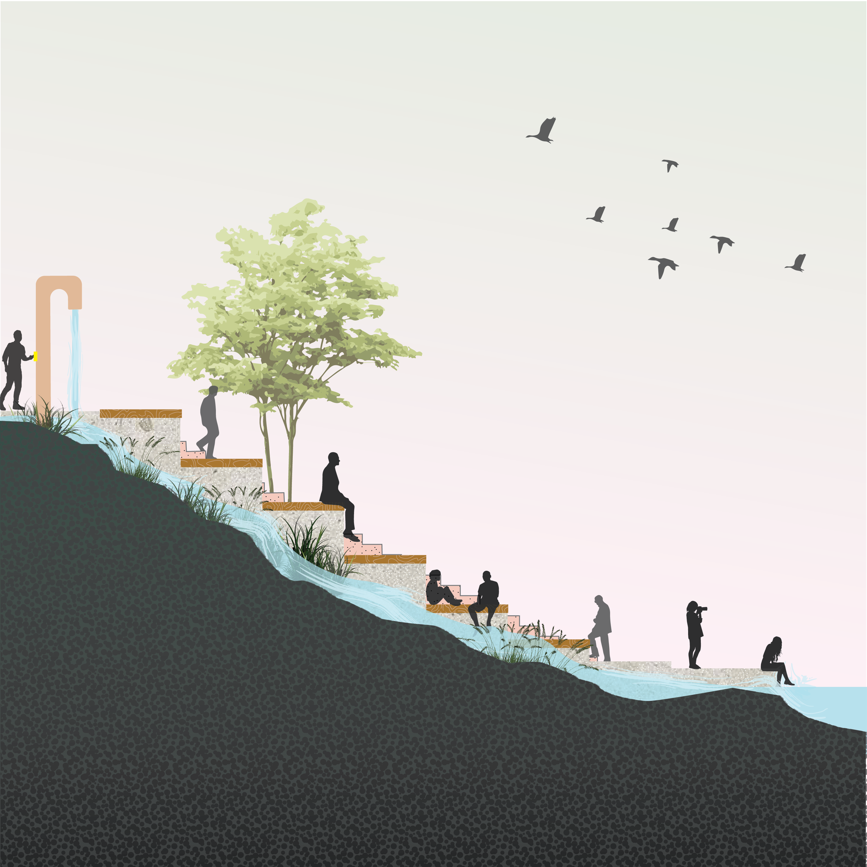
Detail perspective of rain chain interaction

Section A
Section B
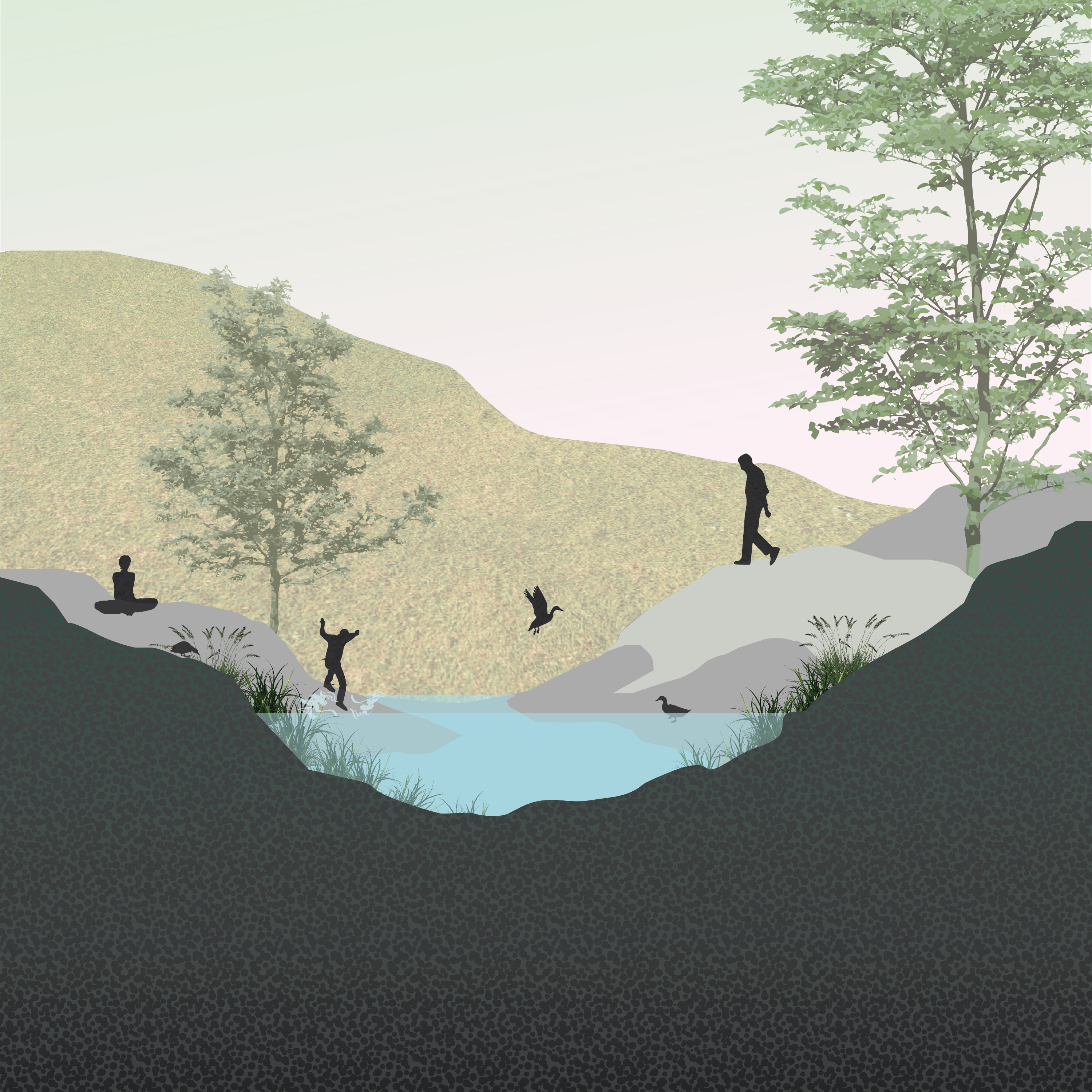
Detail plan 1: Shallow waters flowing through park landscape
Detail plan 2: Open viewpoint deck space
Detail section 1: Park landscape crevice exploration
Detail section 2: Waterfall steps (inspired by interactive water pipe located in the nearby Hinge Park)
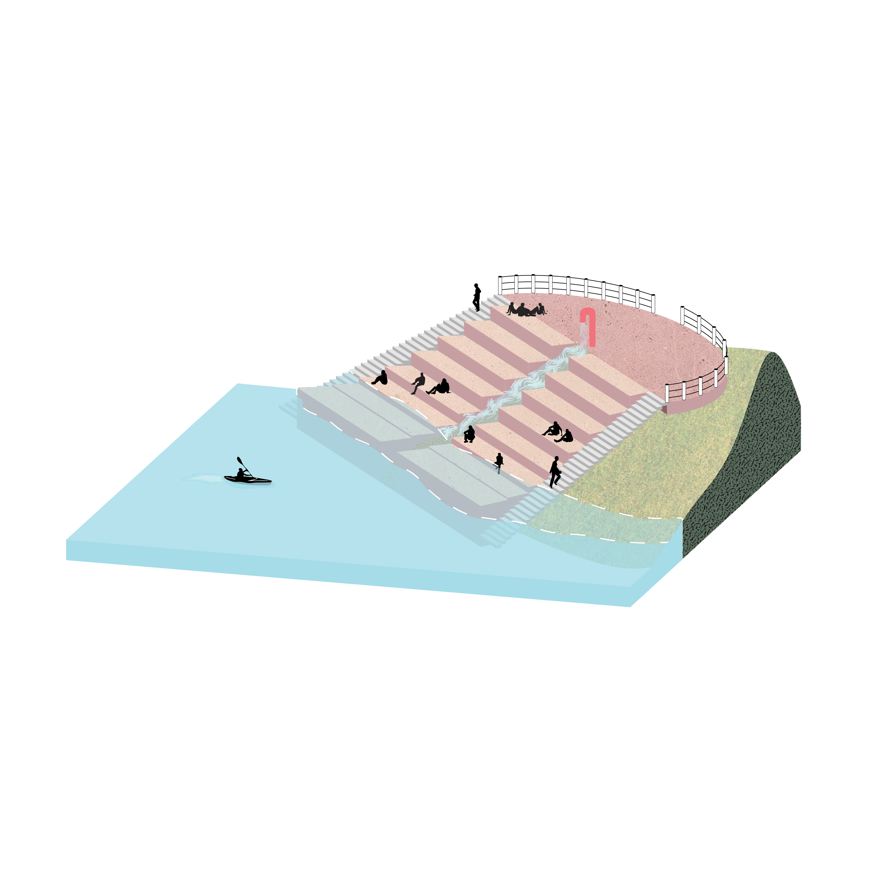


Detail plan perspective (José M): Waterfall steps
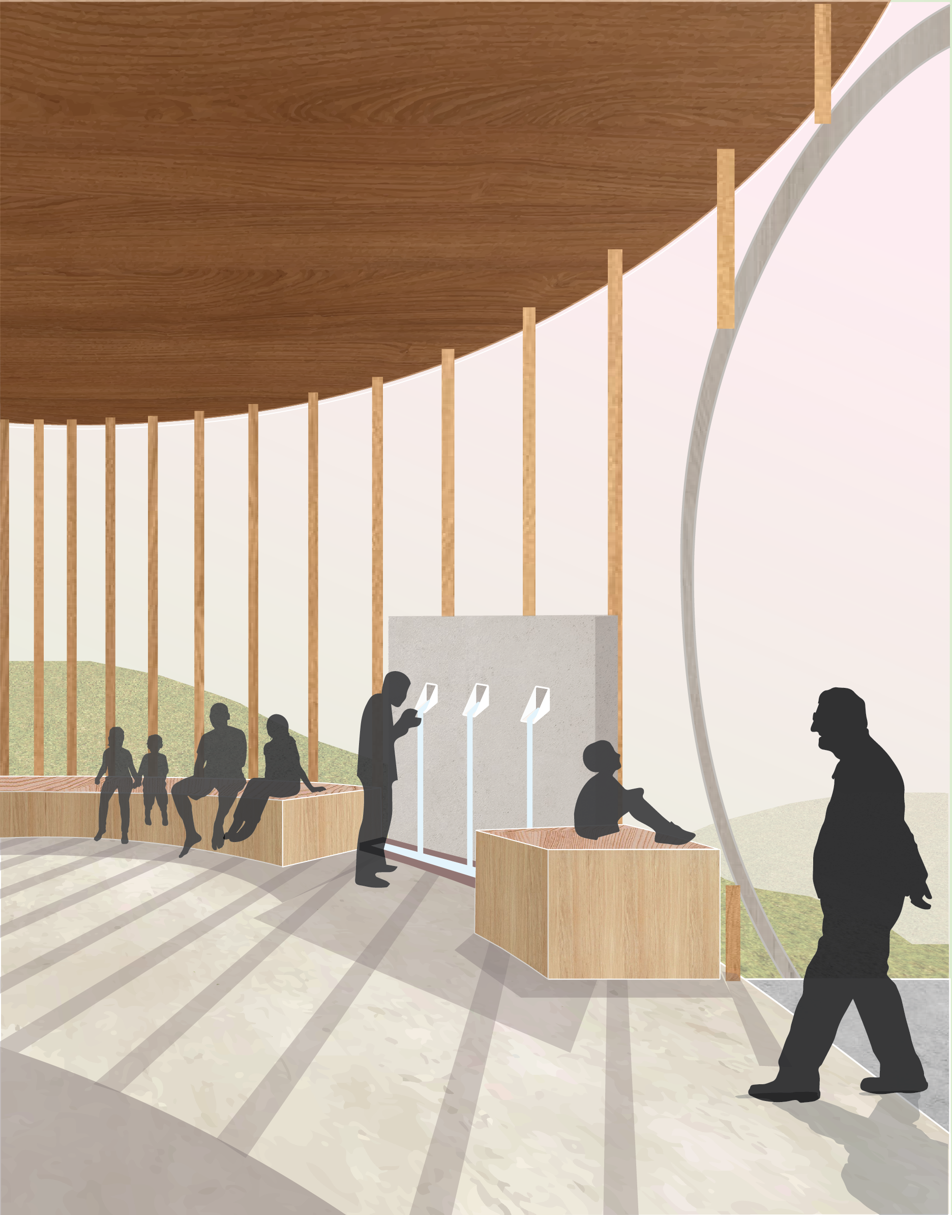
Detail isograph 1: Rain echo pavillion
Detail isograph 2 (José M): Park path connectors


Perspective sketch 1: Vegetation exploration
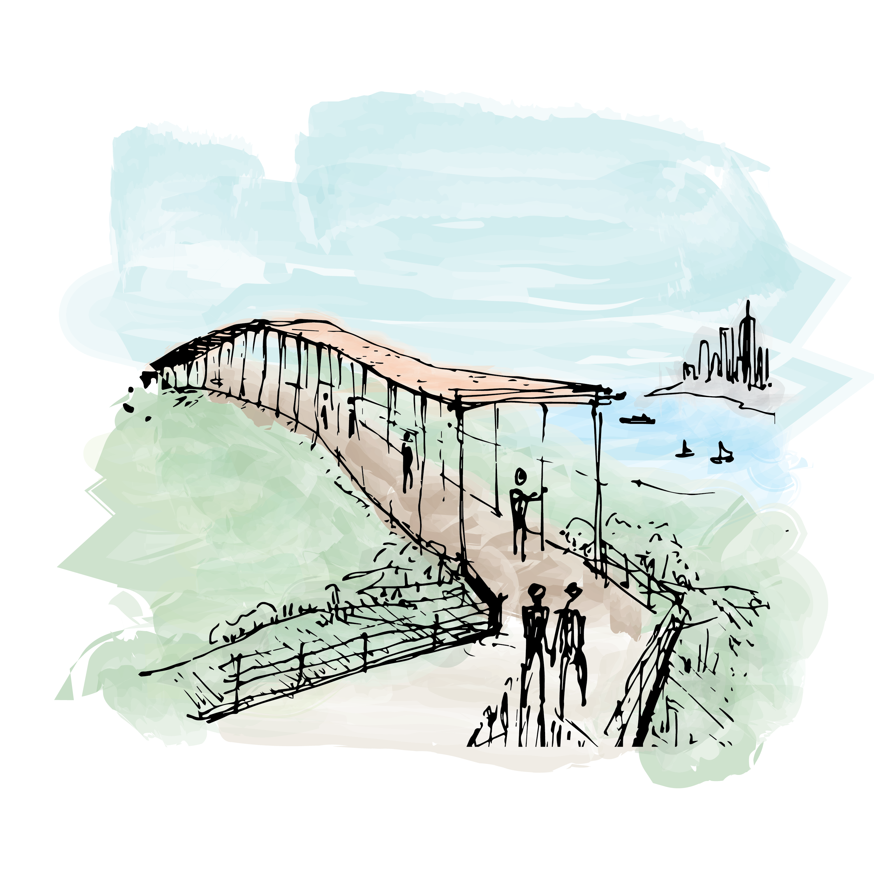
Perspective sketch 2: Rain chain walk and horizon
Perspective sketch 3: Island bank
Digital perspective 1: Rain chain walk
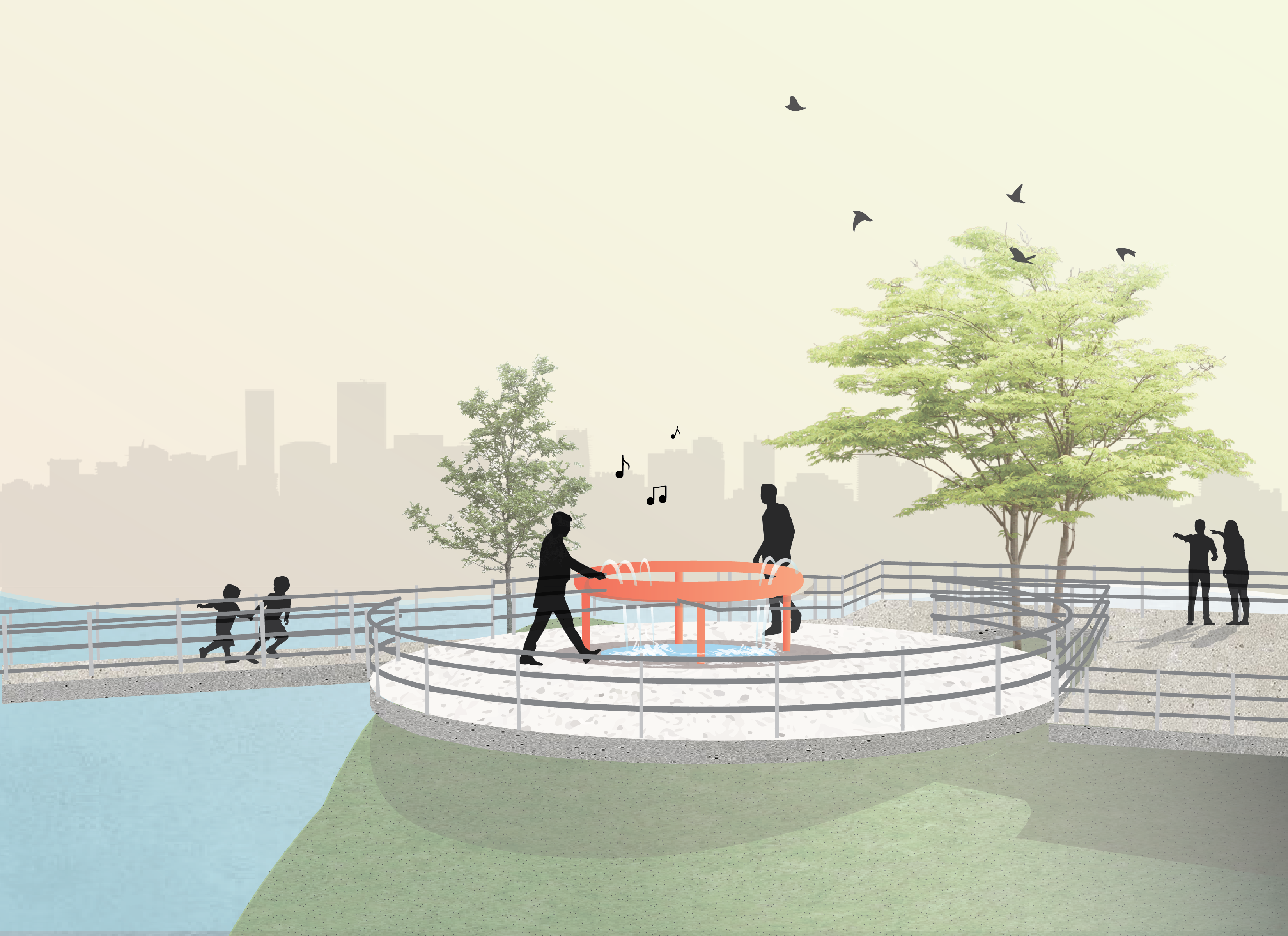
Digital perspective 2: Hydraulophone and bridge connector
Digital perspective 3: Rain echo pavillion and fountain
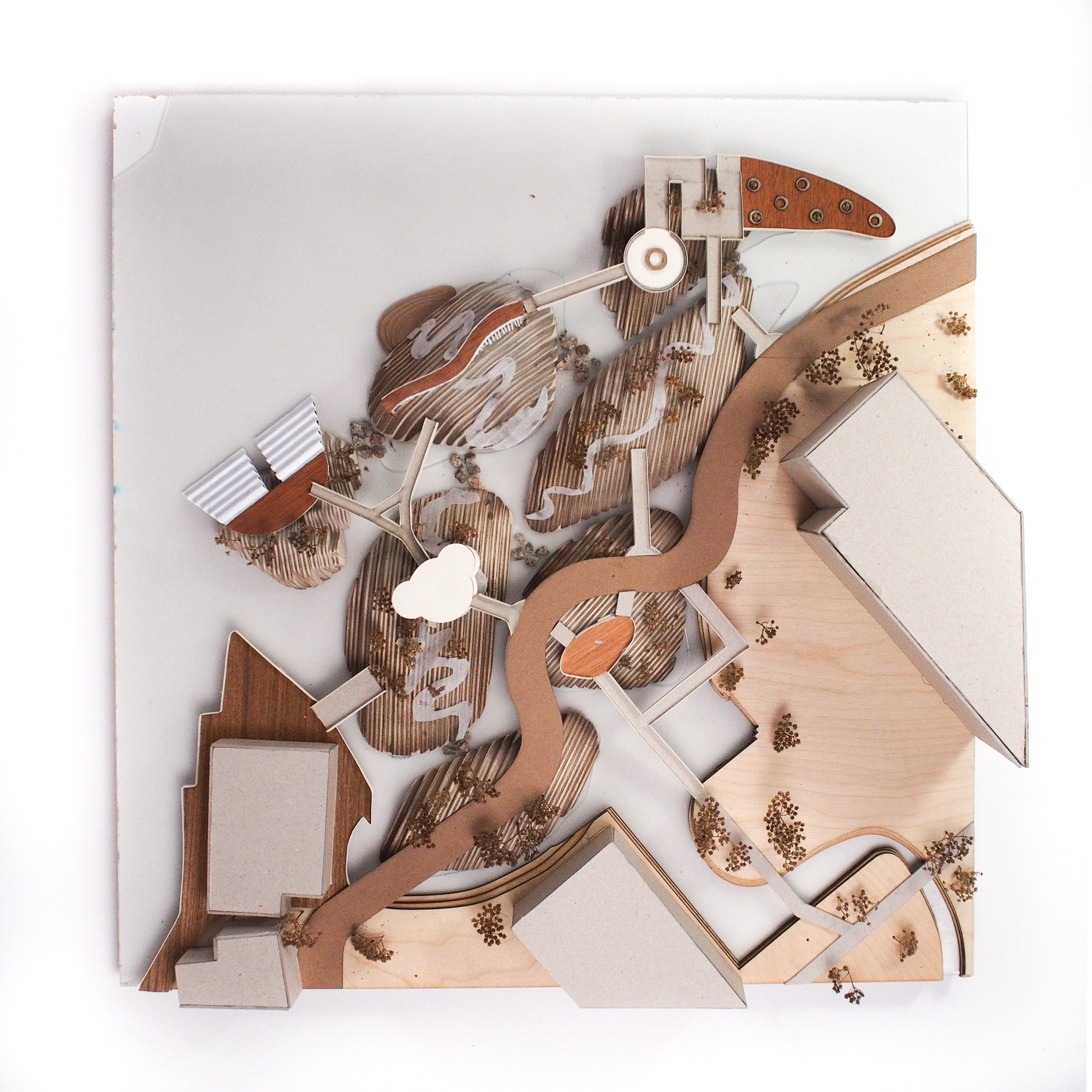
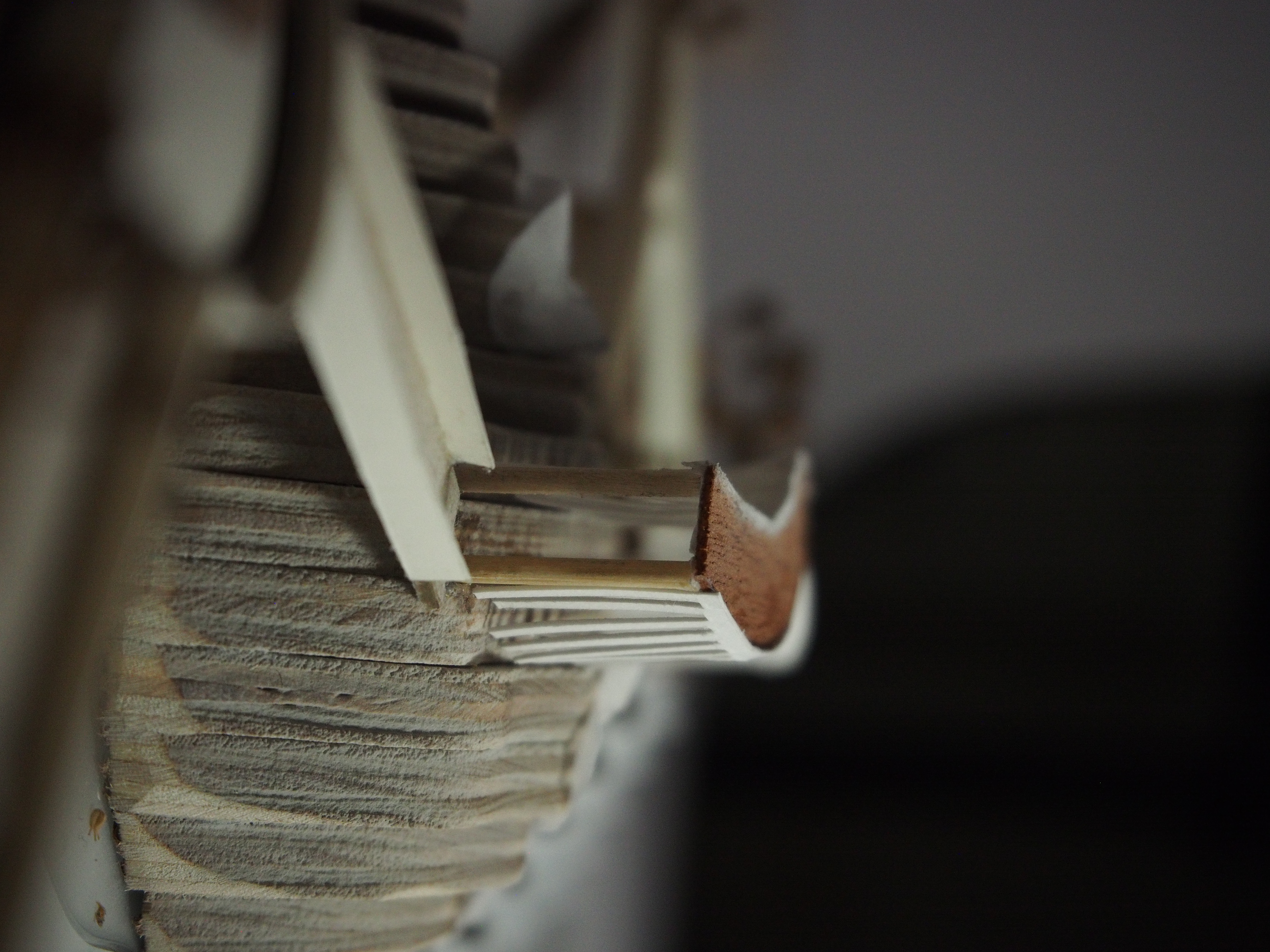
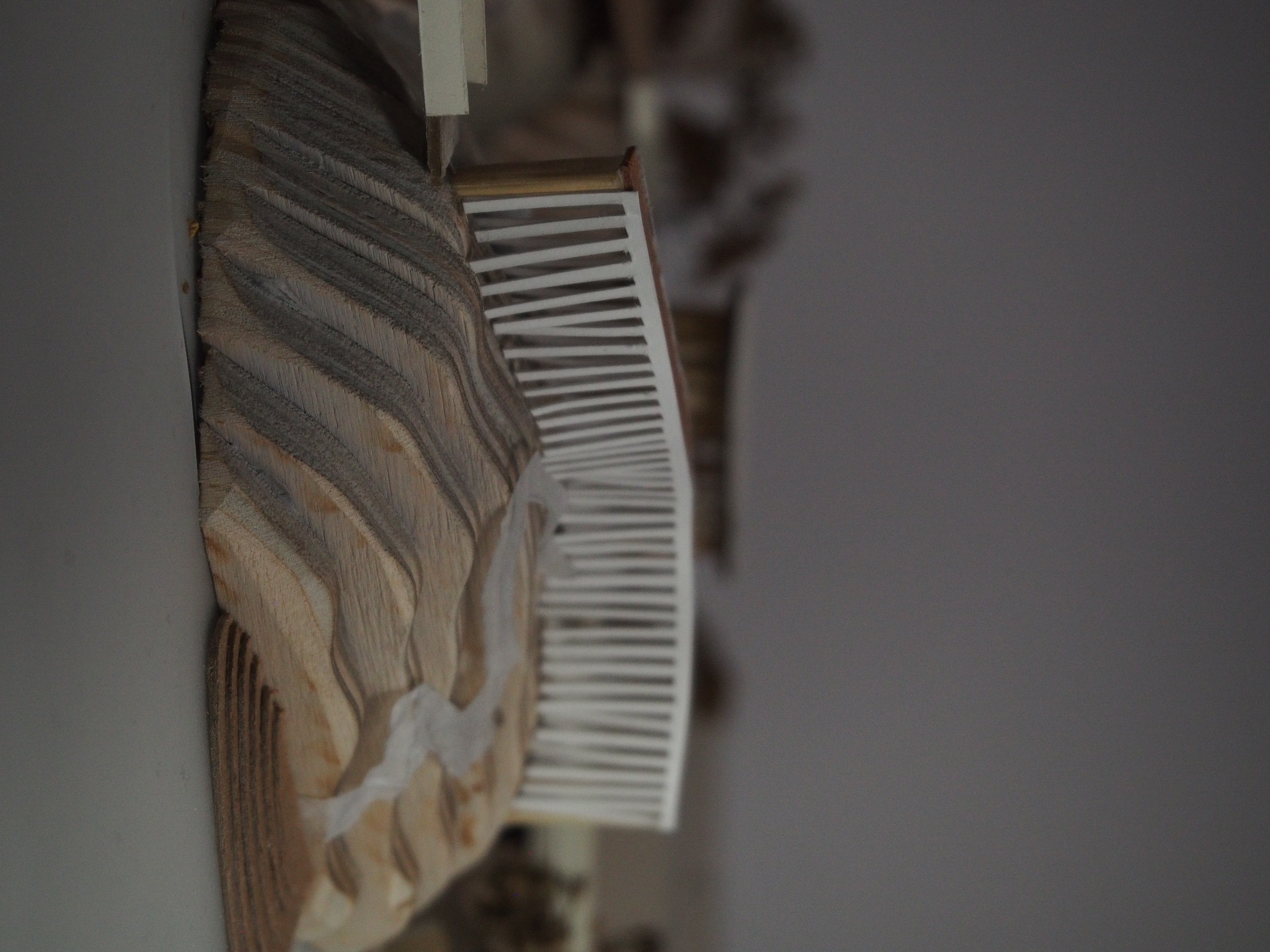
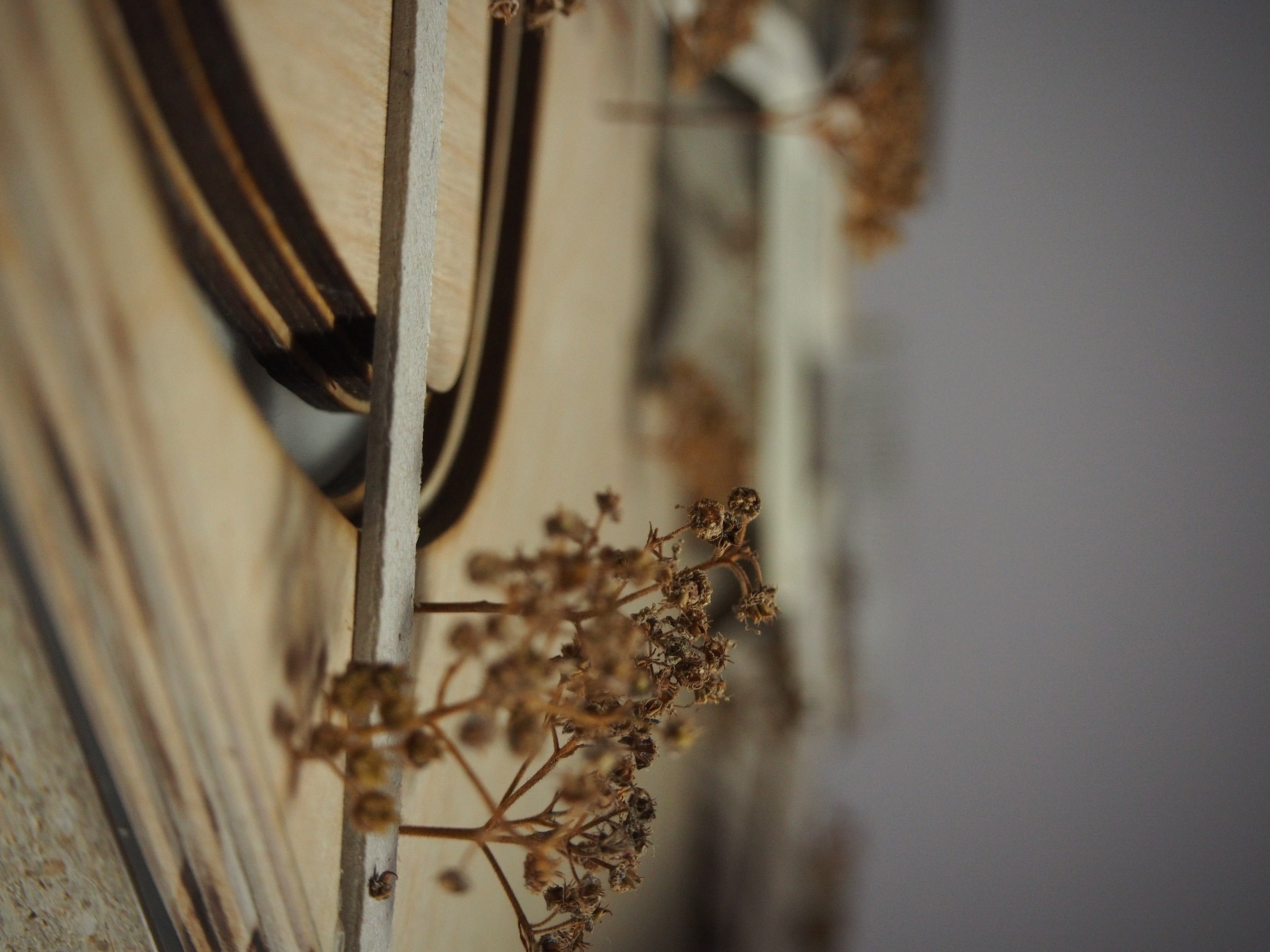
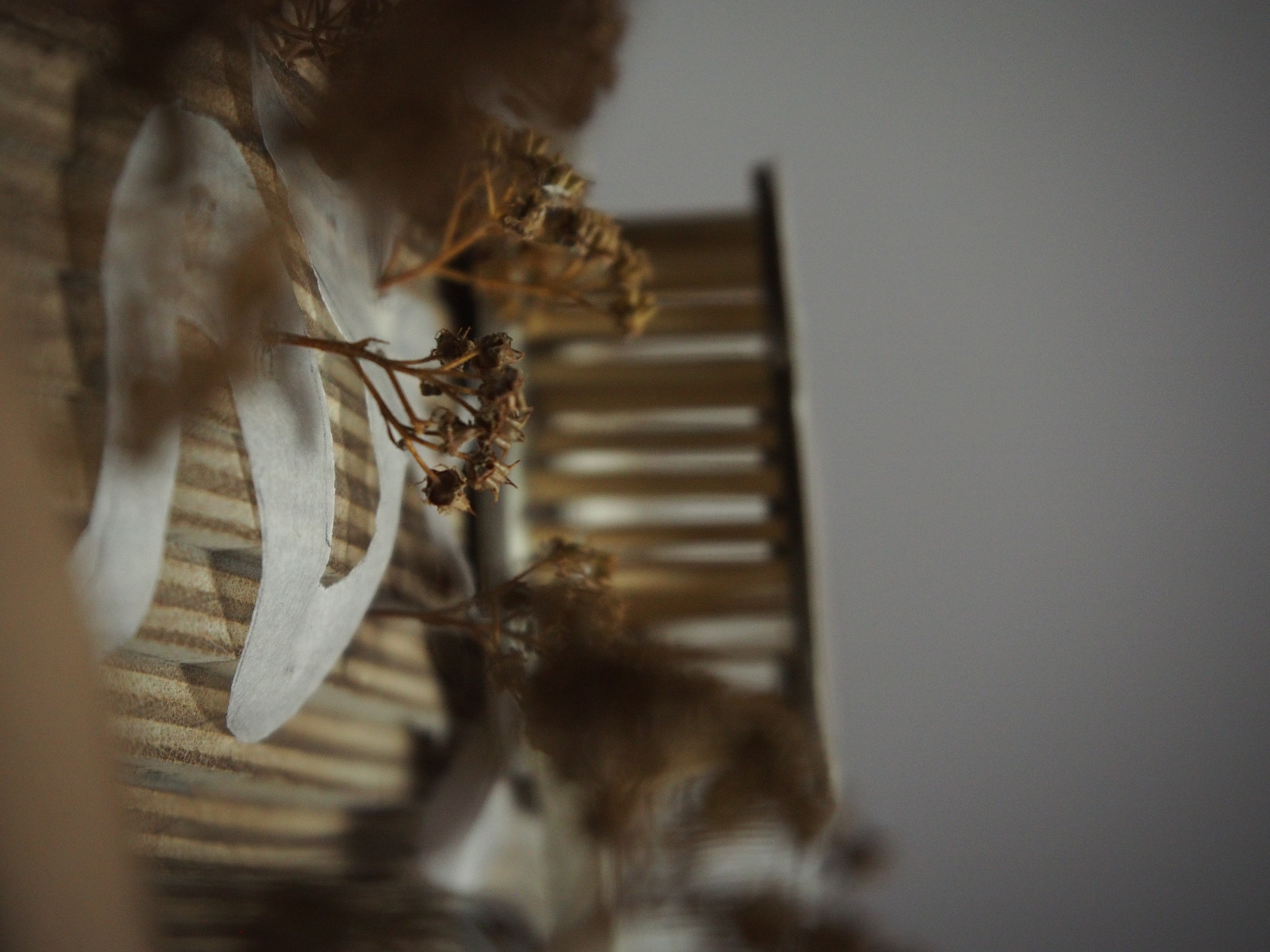
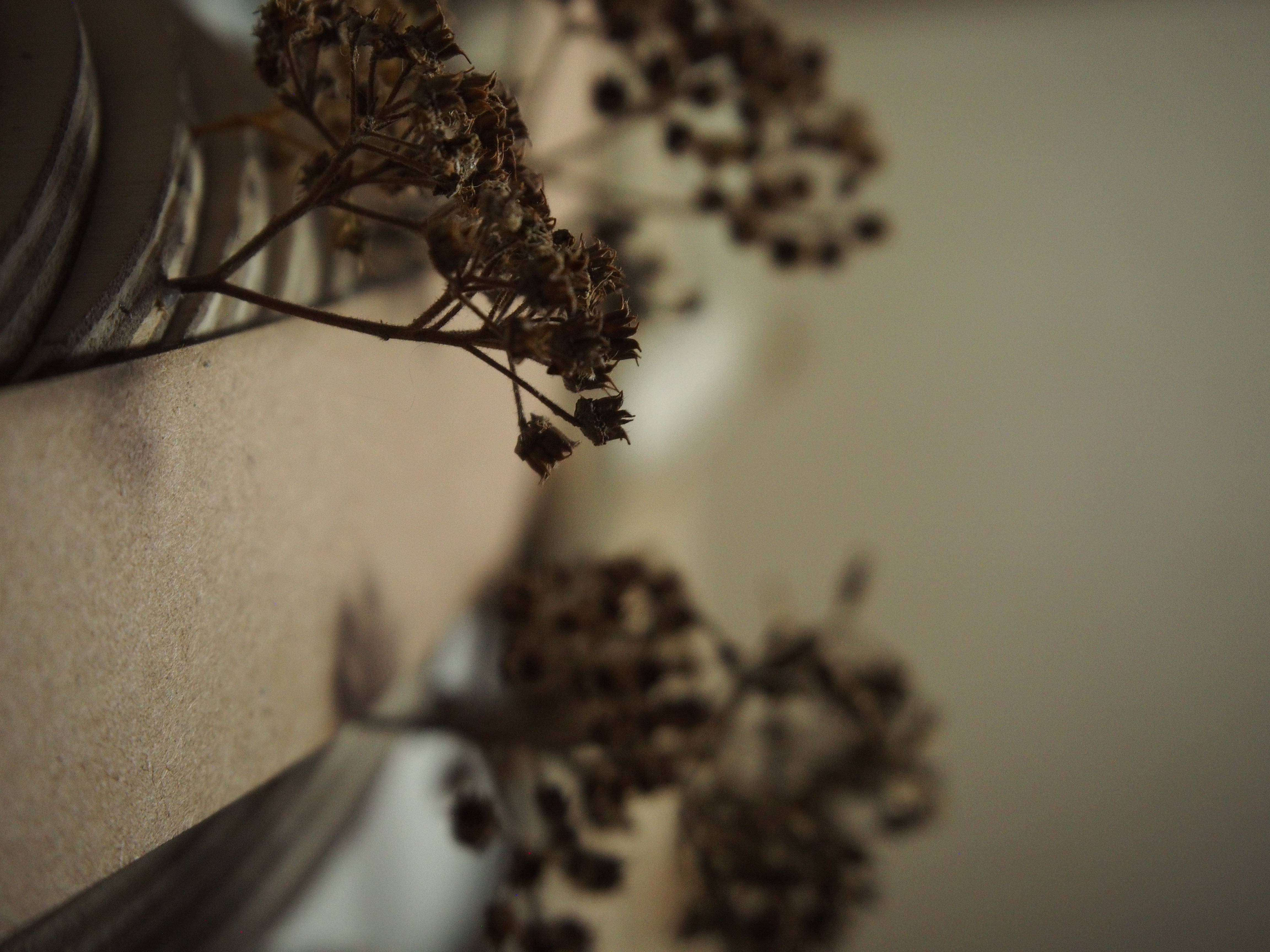
MODEL
24” x 24”
Plywood, chipboard, wood veneer, trace, and sandblasted acrylic.
24” x 24”
Plywood, chipboard, wood veneer, trace, and sandblasted acrylic.